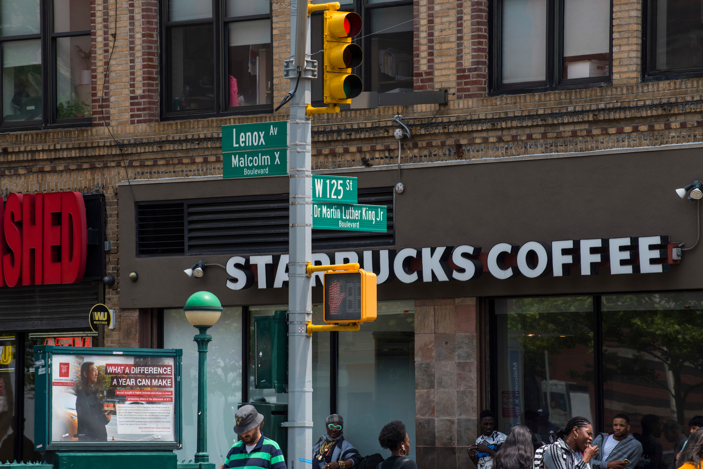
As global cities implement development policies to reinvigorate their local economies, a common consequence is the process loosely referred to as gentrification, which drives up property values and threatens to displace low-income residents. Although gentrification and its frequently negative consequences are well-known to urban residents, policymakers, and social scientists, there is widespread disagreement on how to define its indicators. Furthermore, geography-based indicators become uninformative as the geographic resolution becomes too coarse, thus presenting a challenge to balance between sufficient spatial information and statistical stability.
These challenges are addressed in a new publication within the International Journal of Geographical Information Science by a cross-disciplinary team led by Associate Professor Glen Johnson. Co-authors include Melissa Checker, associate professor at Queens College and the Graduate Center, along with Queens College Lecturer Scott Larson and CUNY SPH PhD candidate Hanish Kodali.
The authors proposed a scored index based on the relative change of key input variables available at the U.S. census tract level (median family income, median rent and proportions of non-Hispanic white, 20-34-year-olds and adults with a 4-year college degree) to represent the nuanced and processual nature of the socioeconomic shifts associated with gentrification. The index is computed through application of principal components analysis followed by Bayesian spatial smoothing; and was applied in New York City based on change from the years 2000 to 2016 within census tracts that are spatially normalized to the year 2010.
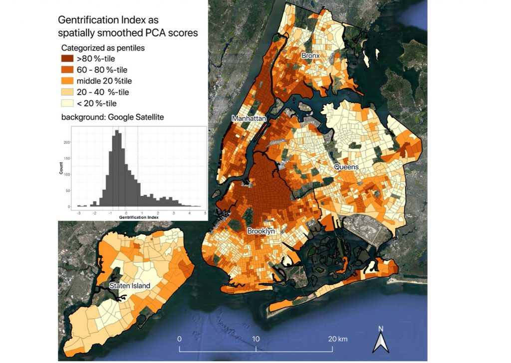 The mapped index is visually consistent with the general understanding of gentrification in New York City, and the index is positively associated with census tract-level change in home values, as measured separately from a real property database. Preliminary research is also showing a high spatial correlation with both brownfield land re-development and “upzonings,” most of which were passed during the Bloomberg mayoral term.
Although the index was developed as the quantitative part of an ongoing mixed methods approach to understanding forces of gentrification in New York City, the methodology is intended to be applicable in other cities.